TERRACORE SPATIAL CONSULTANTS LTD
Terracore Spatial Consultants Ltd is a premier multidisciplinary consultancy delivering world-class land surveying, geospatial intelligence, architectural design, construction management, and drone mapping across Kenya and East Africa. Your single trusted partner — from raw land to realized vision.
Years Experience
Projects Completed
Client Satisfaction
Counties Covered
Our Core Services
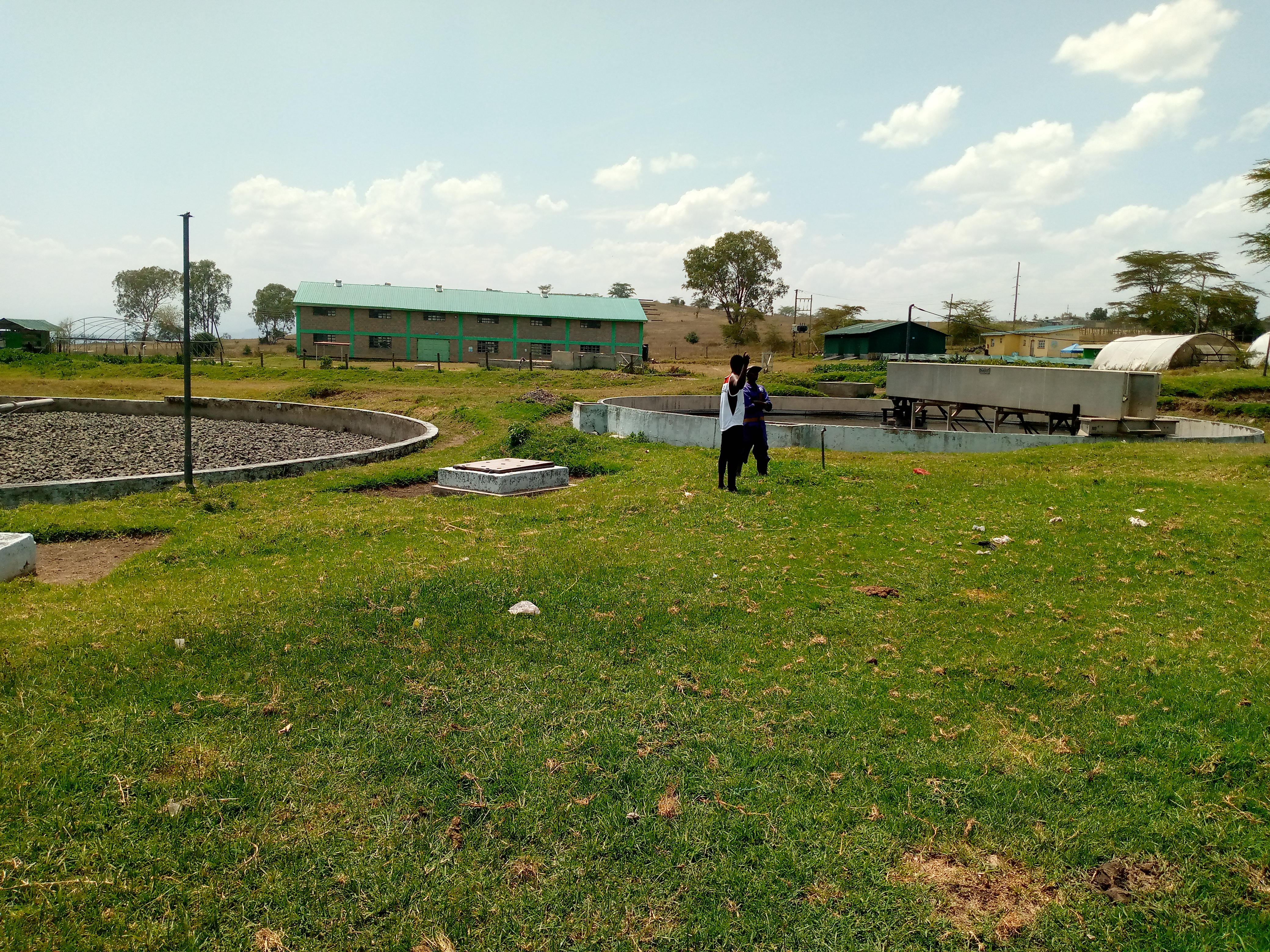
Thirteen specialized services designed for precision land, property, construction and geospatial delivery across Kenya.
Why Choose Terracore?
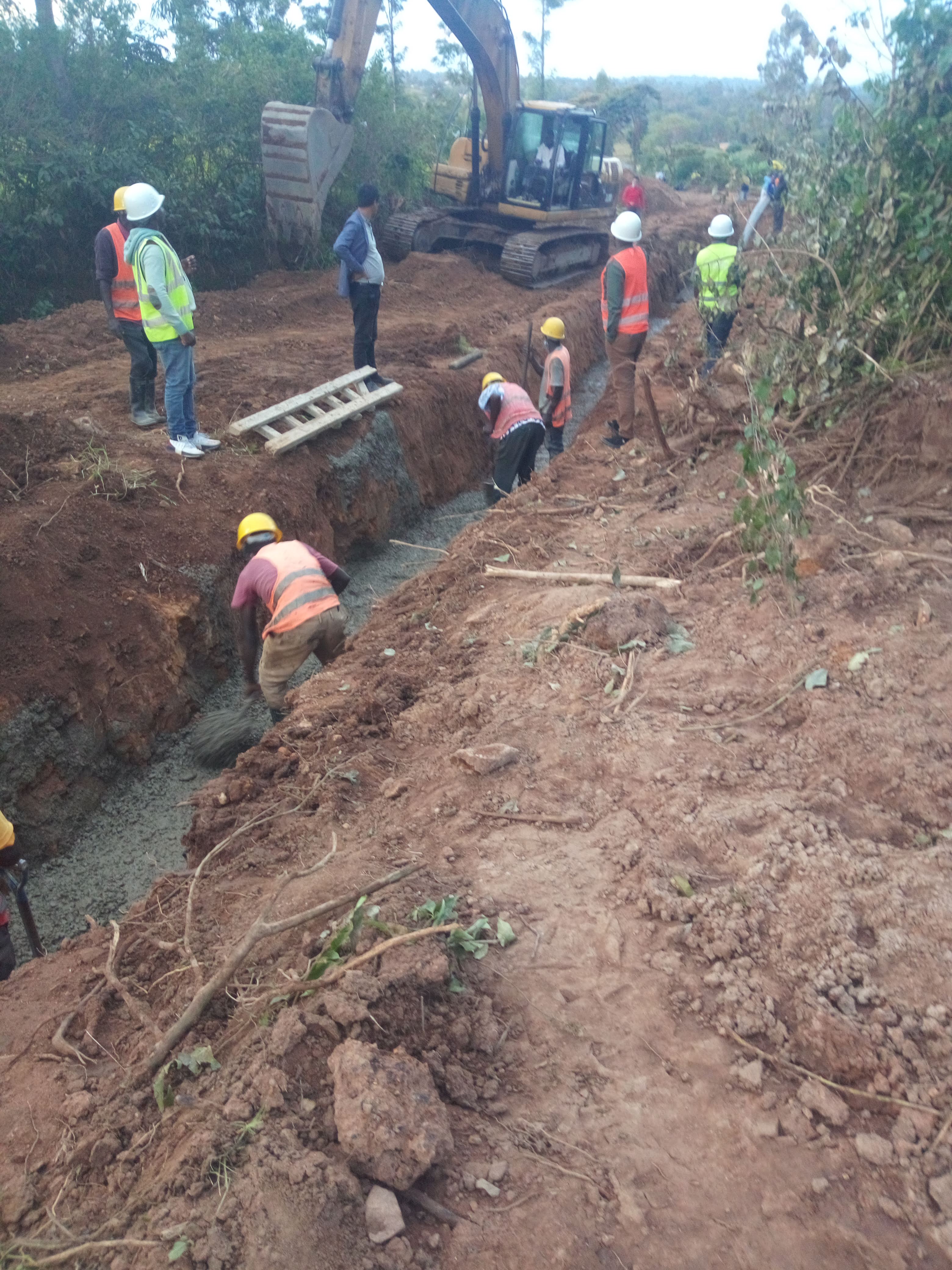
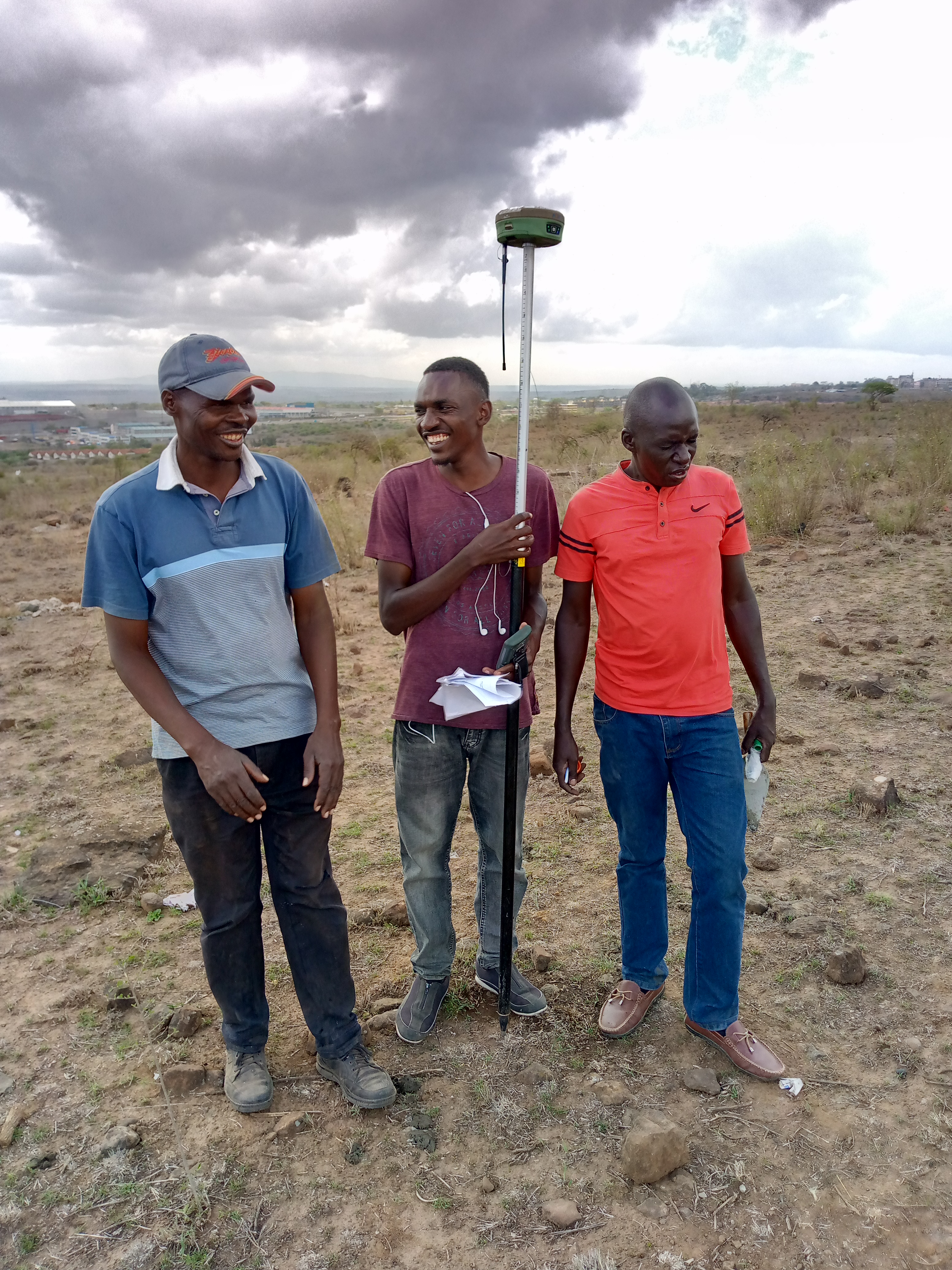
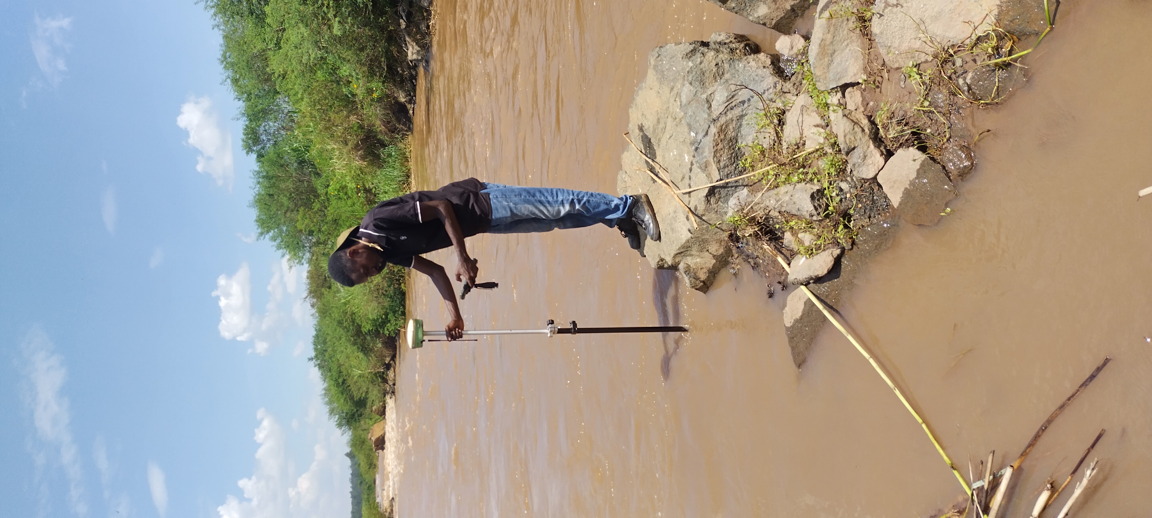
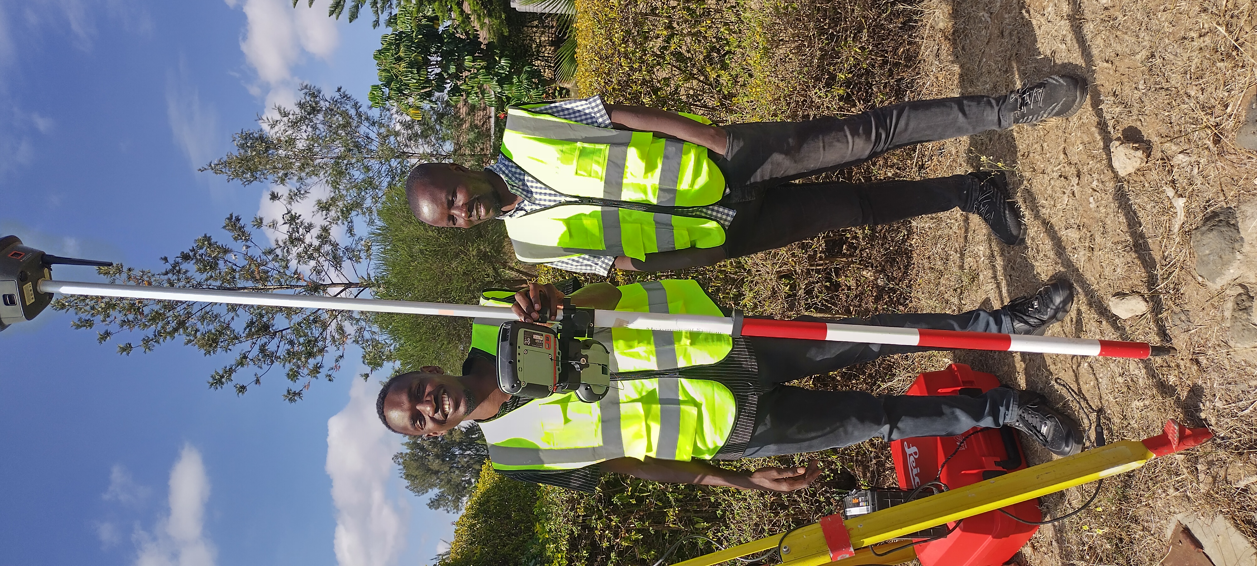
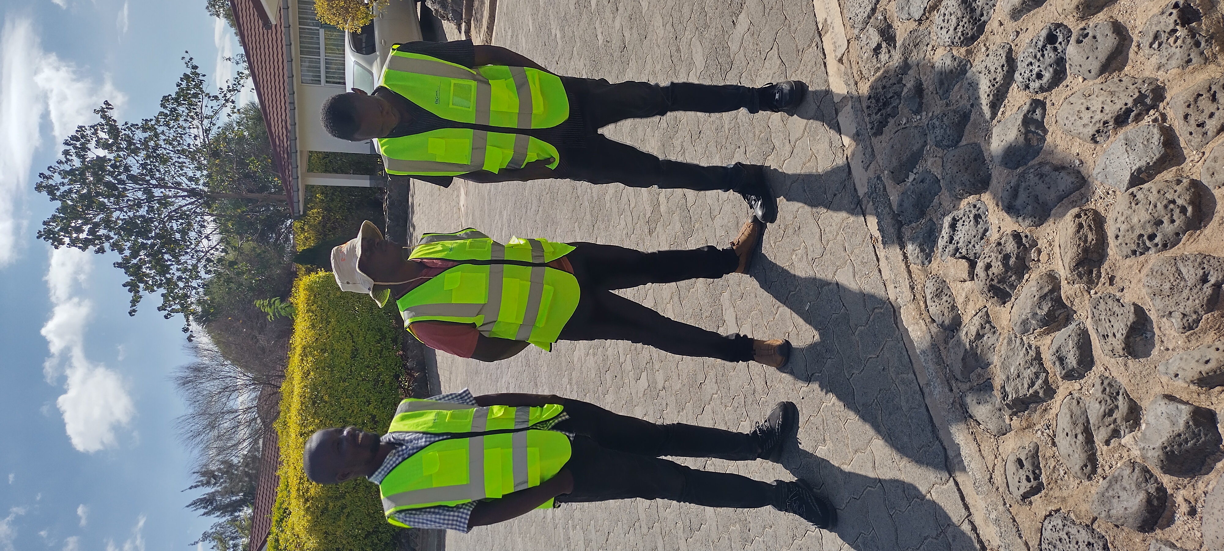
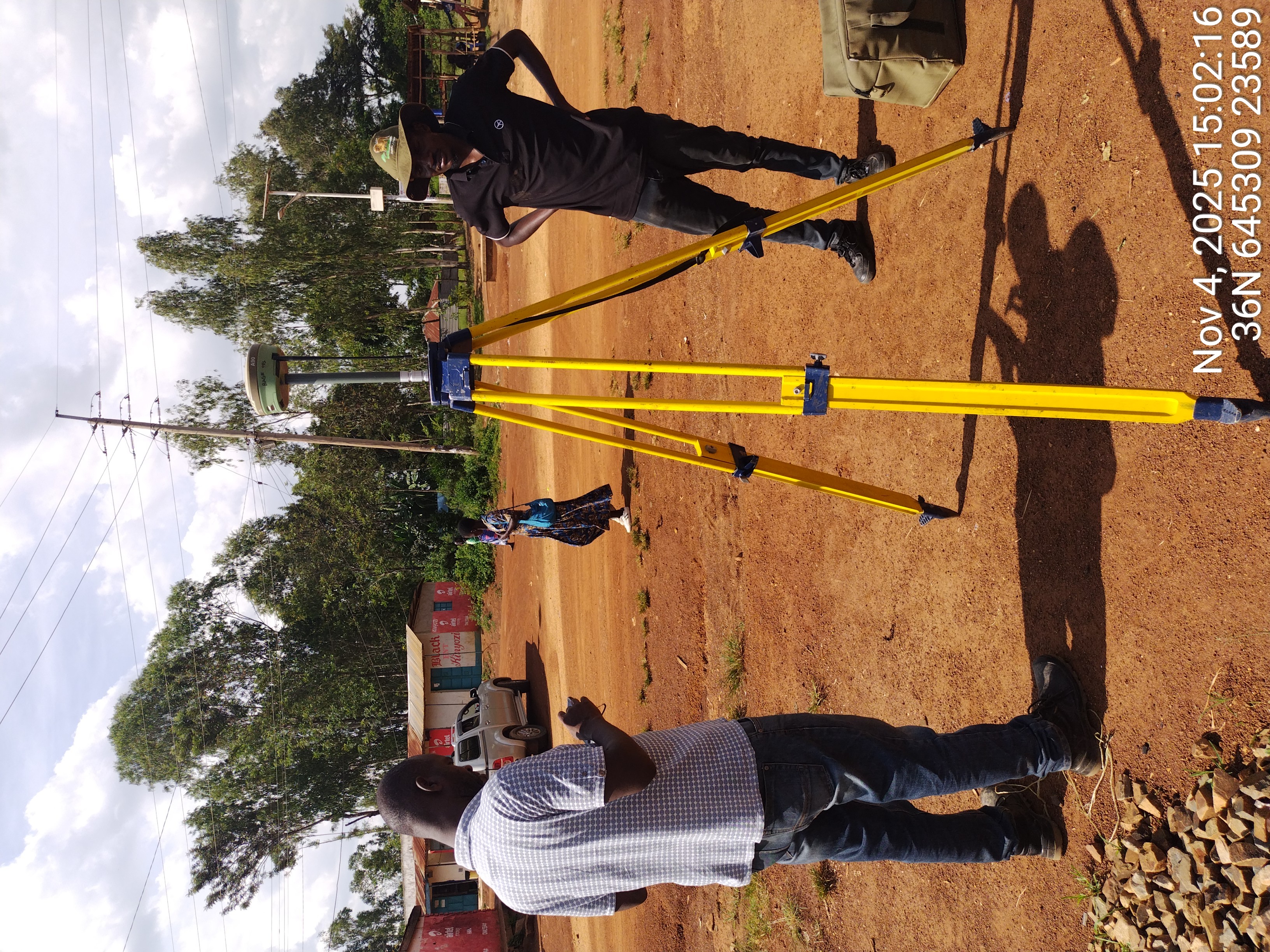
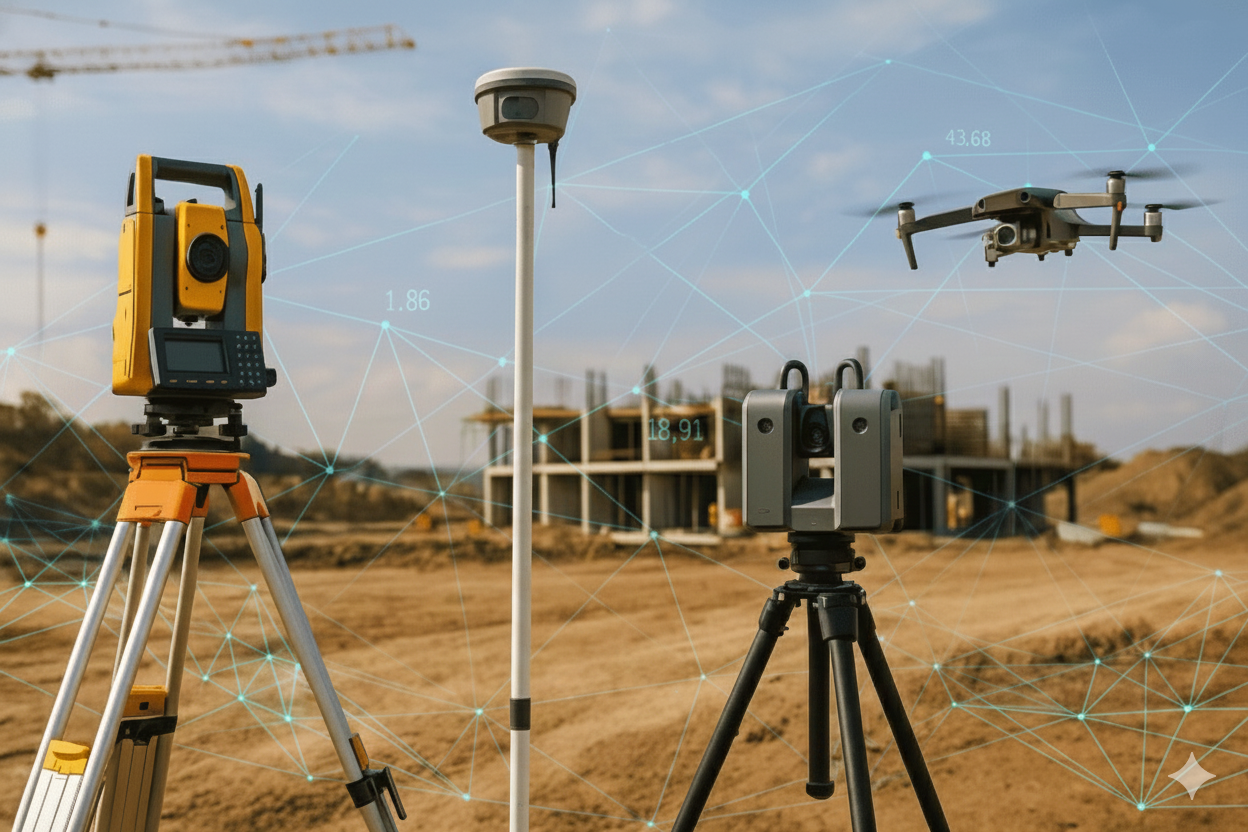
Backed by a multidisciplinary team of surveyors, architects, engineers, drone specialists, and quantity surveyors with over 10 years of combined field experience, Terracore combines proven expertise with modern technology to deliver precision results across Kenya's geospatial and construction industry.
Board Certified Professionals
All our surveyors are licensed and registered with the Surveyors Board of Kenya.
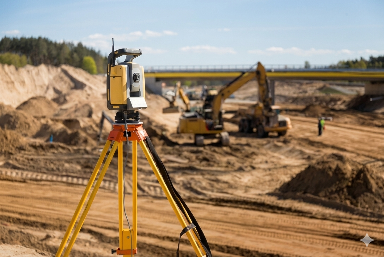
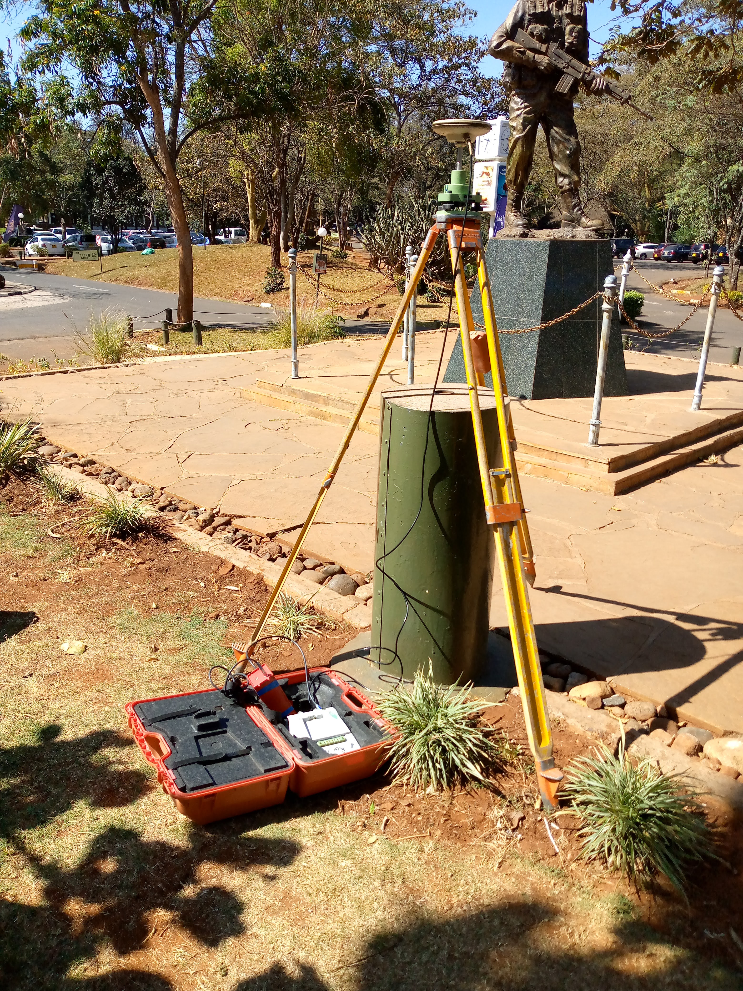
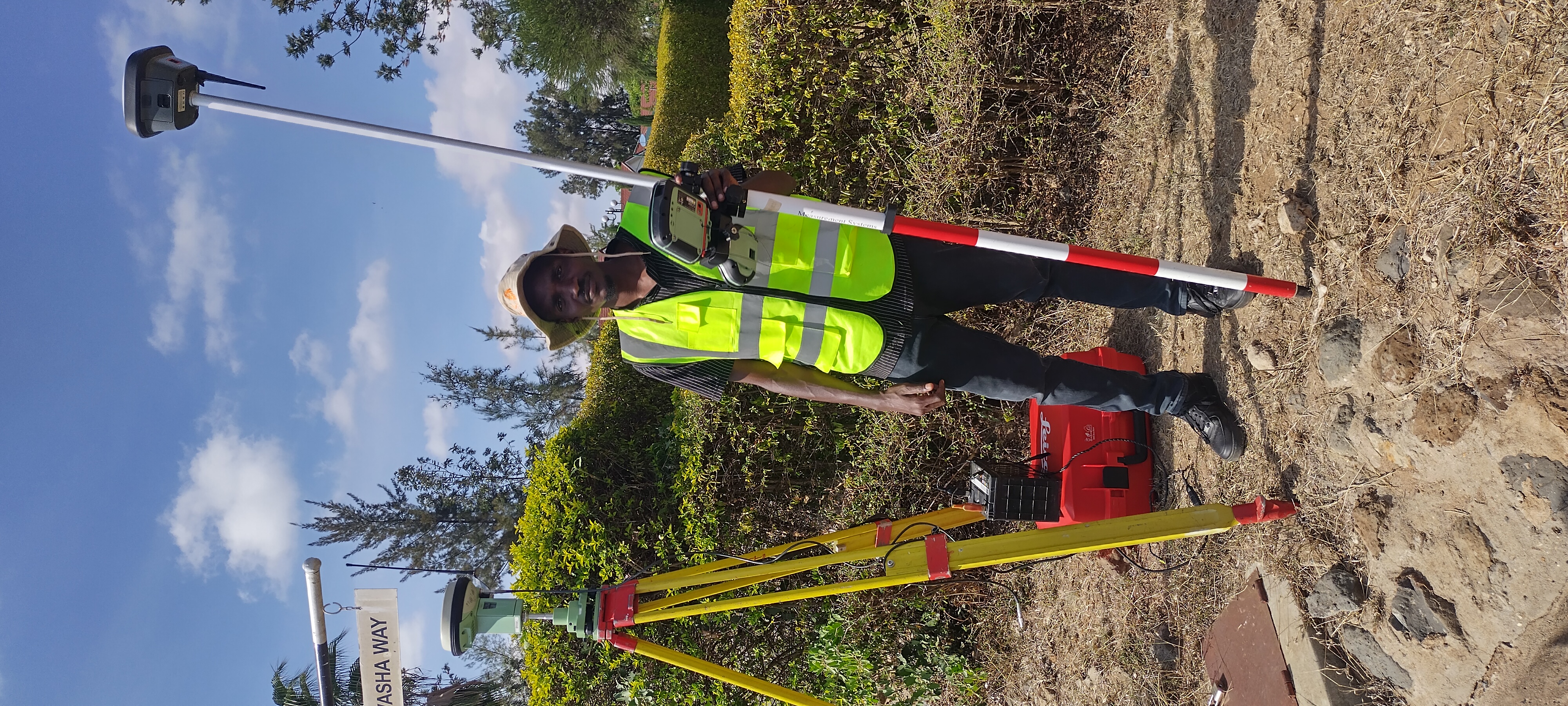
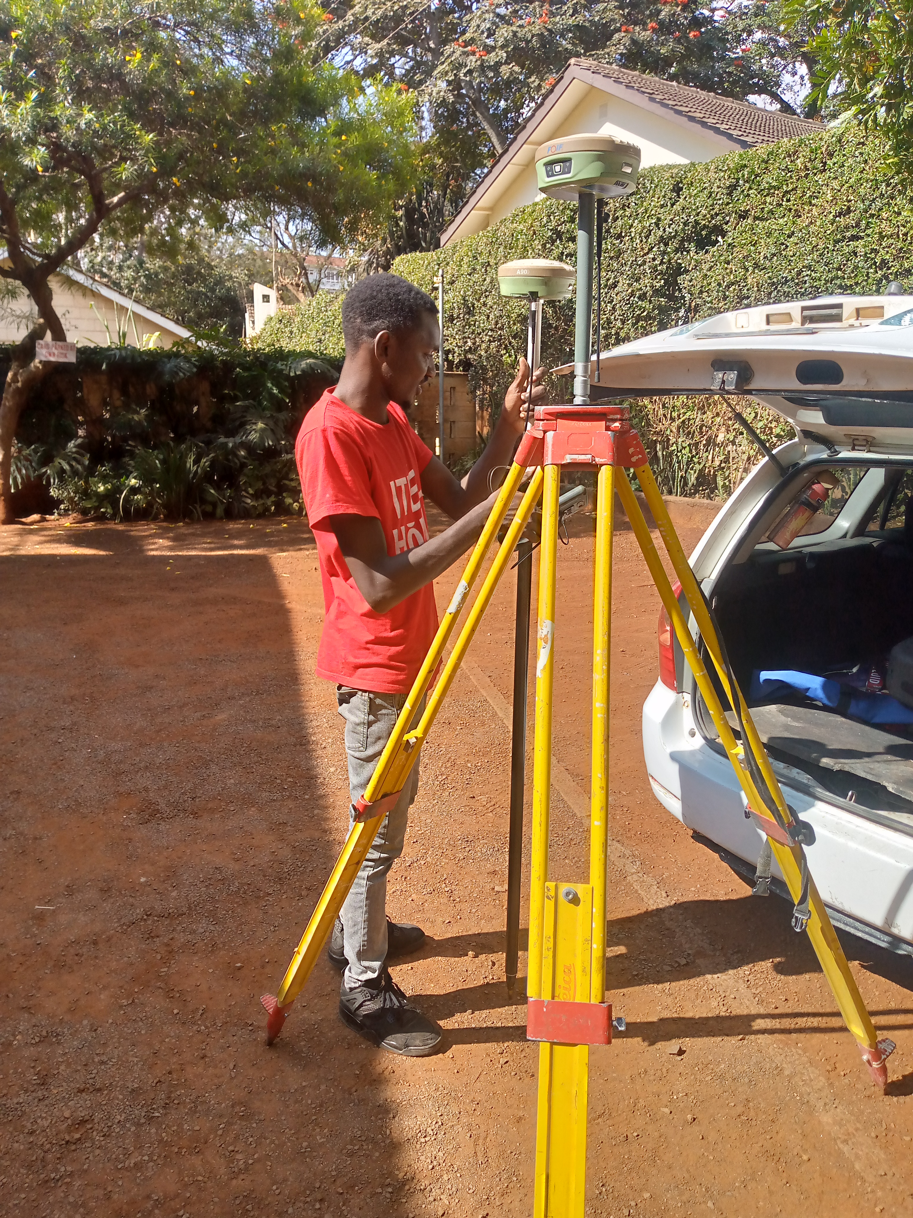
Cutting-Edge Technology
RTK GPS, drone photogrammetry, LiDAR scanning, and advanced GIS platforms.
Timely Delivery
We understand project timelines and consistently deliver within agreed schedules.
ISKEN Member
Institution of Surveyors Kenya
Ready to start your next project?
Let's discuss how Terracore can support your surveying and mapping needs with precision and professionalism.